2. Preparation of the digital database of both biophysical and socio economic layer of selected pocket area of 10 VDCs of Sindhupalchowk district, assigned by Melamchi Diversion Scheme Environmental Impact Assessment (MDSEIA/IUCN) in 1999.
3. Preparation of 14 layers of biophysical data of 8 LGP districts assigned by LGP/UNDP in 2000.
4. Preparation of various GIS maps as required for other SIDeF activities e.g. GIS maps for District Transport Master Plan of Sankhuwasabha District assigned by RDP/GTZ and Dailekh District assigned by HELVETAS Nepal
5. GIS Data entry of
6. Digitization of biophysical data of Gulmi district for GARDP-II from May 2002 to July 2002.
7. Digitization DTMP maps of Arghakhanchi for GARDP-II from January 2002 to May 2002.
8. Preparation / Updating of District Transport Master Plan (DTMP)/ District transport perspective plan (DTPP) of Solukhumbu, Gorkha, Baglung districts under DDC/DRILP/ DOLIDAR from June 2006 – Sep 2007.
9. Preparation / Updating of District Transport Master Plan (DTMP)/ District Transport Perspective Plan (DTPP) of Sindhupalchowk, Dolakha, Kavrepalanchowk districts under DDC/DRSP from June 2006 – Sep 2007.
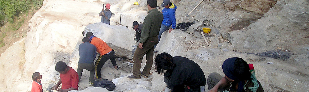
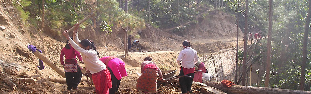
SIDeF has worked on numerous projects throughout the country, and international; since establishment in 1994. Here is the data sheet of undergone projects in last two decades.
.jpg)